Azerbaijan uses satellite images to identify mineral resources in liberated areas
- 21 October, 2025
- 11:50
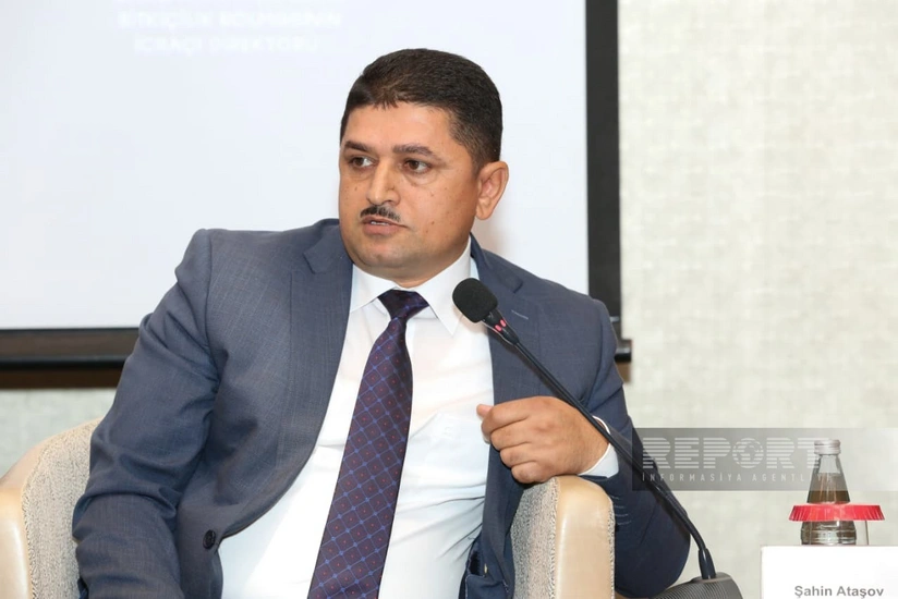
Work is underway in Azerbaijan to analyze satellite images for identifying deposits of mineral resources in liberated territories, said Shahin Atashov, Deputy Chairman of the Board of the Geological Exploration Agency under the Ministry of Ecology and Natural Resources, during the event "Opportunities from Space: 10 Years of Socio-Economic Contribution of Satellite Observation" held in Baku.
According to Atashov, these efforts are currently being carried out using high-tech methods. "We are also exploring future integration with artificial intelligence to make this process faster and more efficient through advanced technologies," he said. Discussions with the Space Agency are already underway to enable joint work on the initiative.
He added that environmental monitoring had been conducted in these areas even before the occupation. "There is existing data on the environmental impact from mining operations, including waste levels and initial volumes of extracted minerals," Atashov said.
Satellite imagery plays a key role in studying mineral deposits, geological formations, and the impact on subsoil resources, he emphasized.
Author